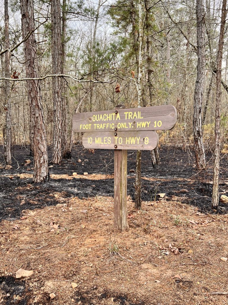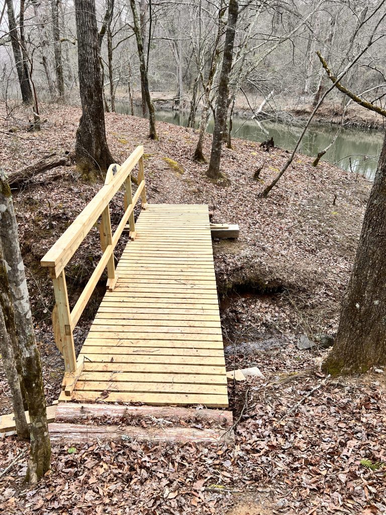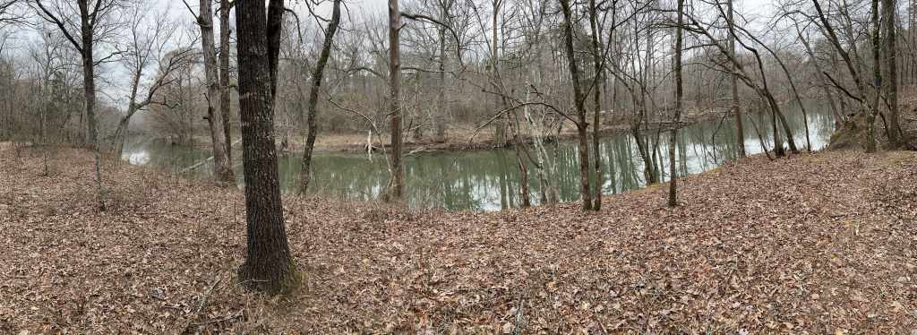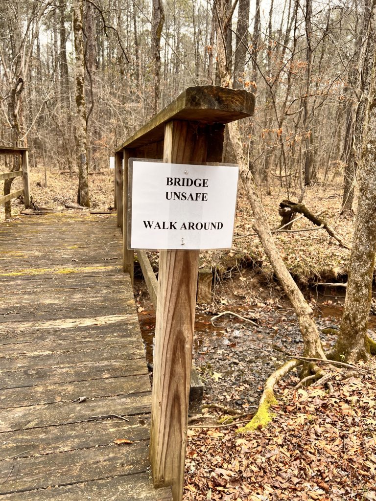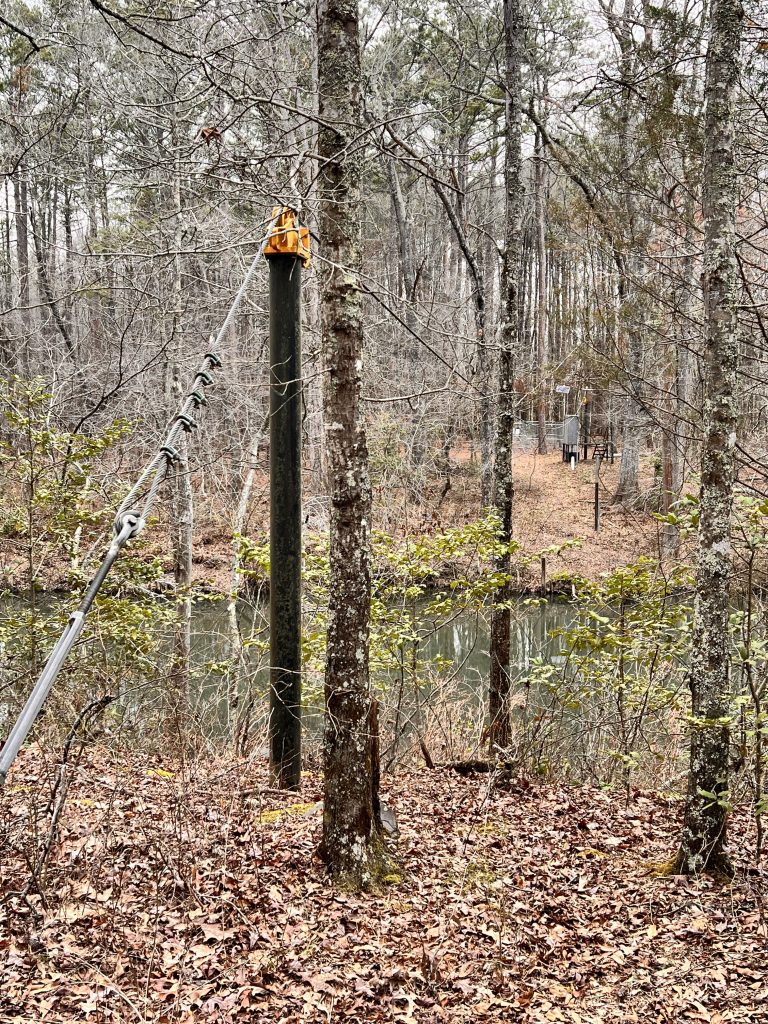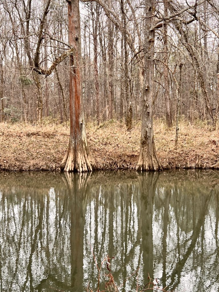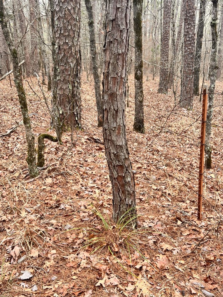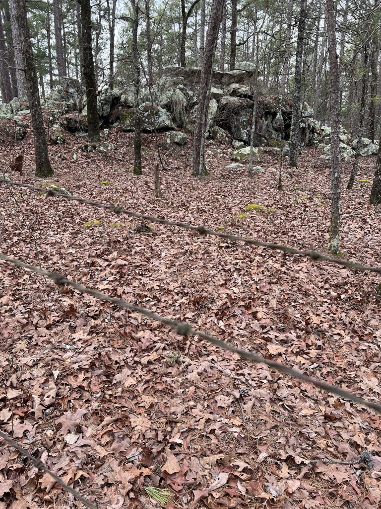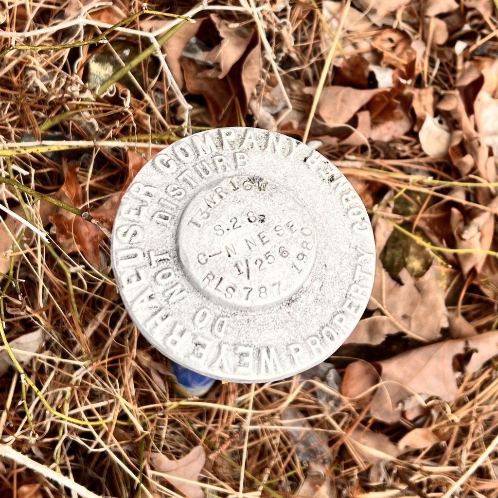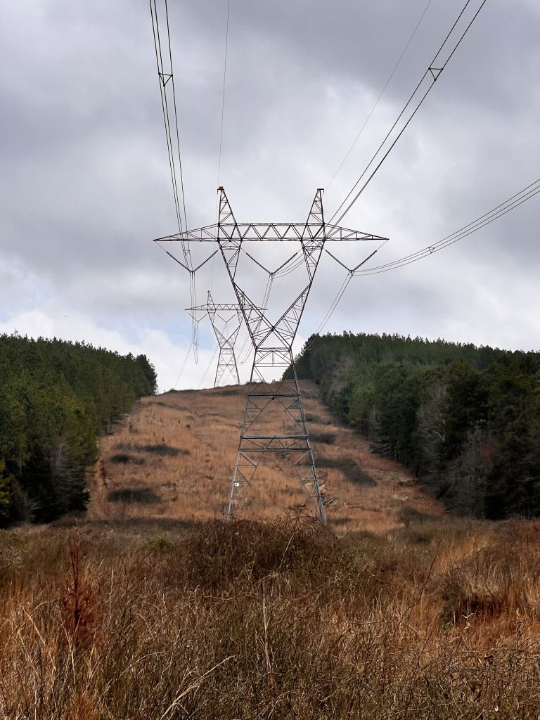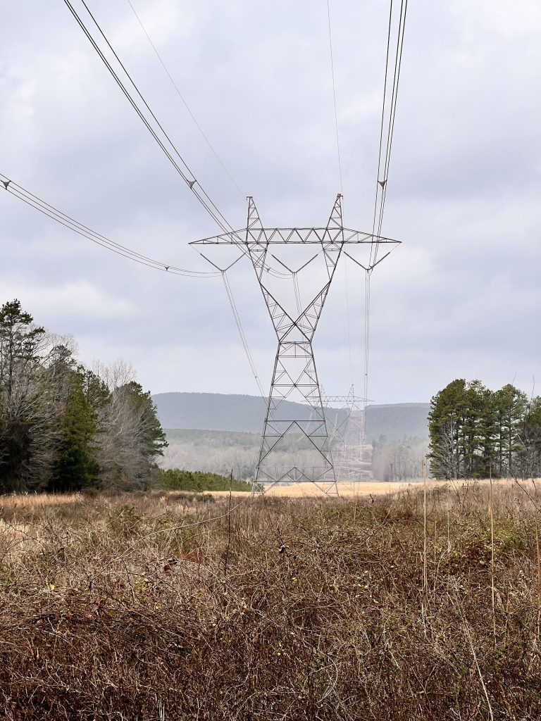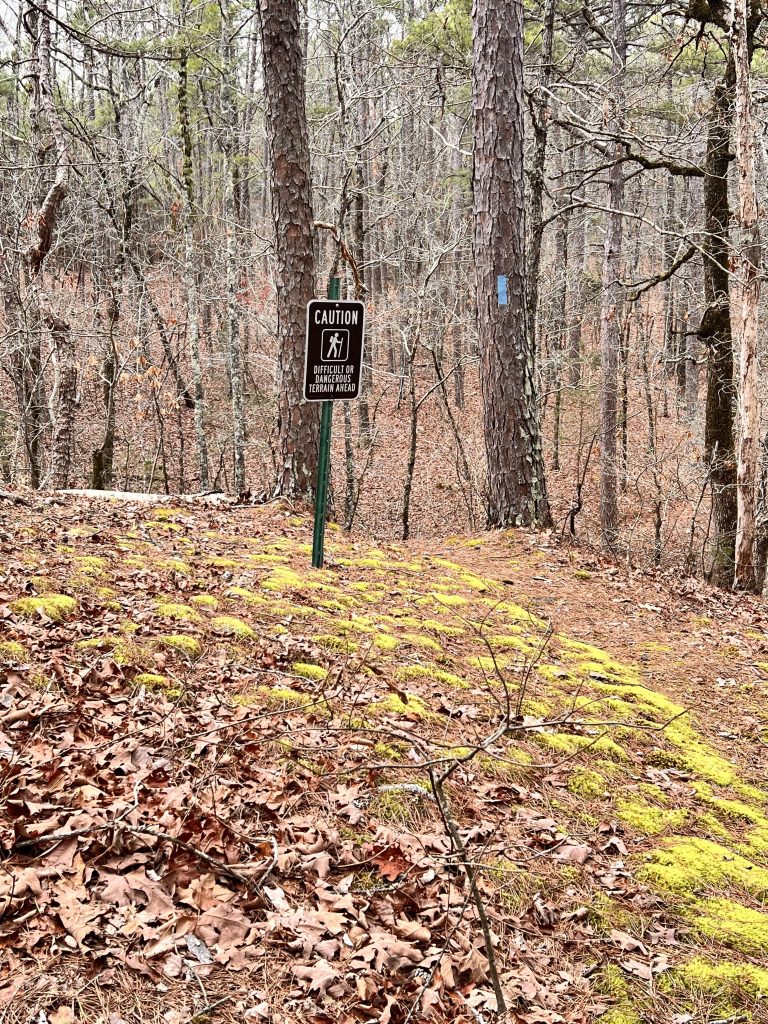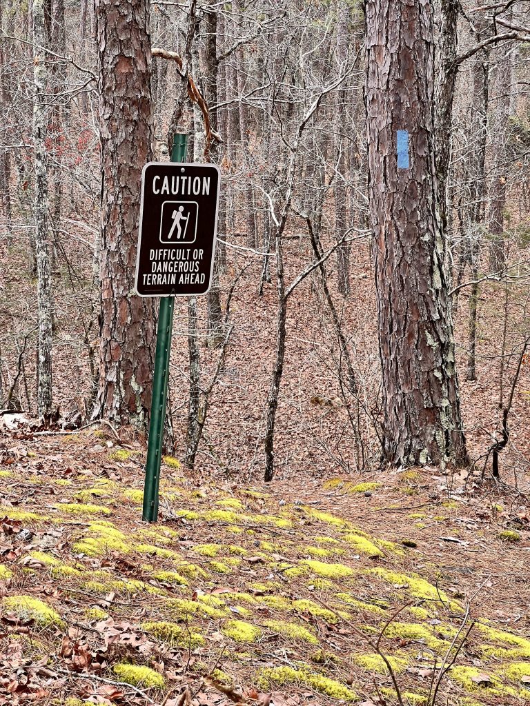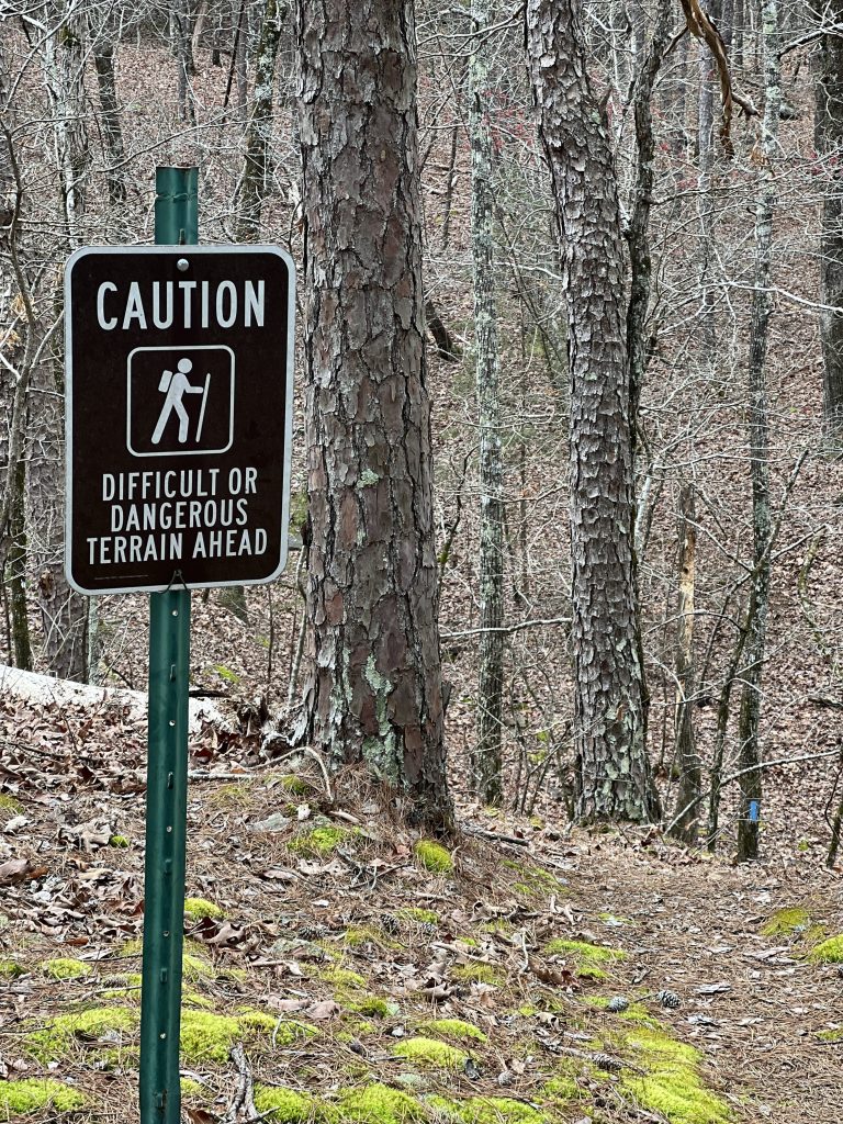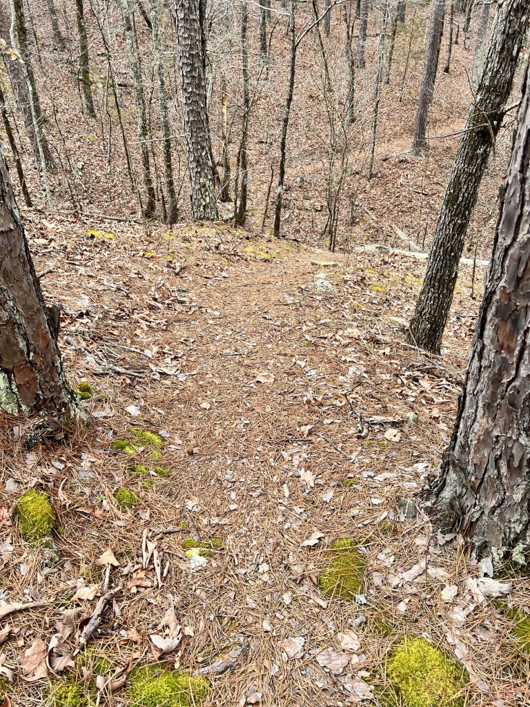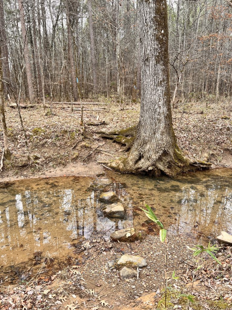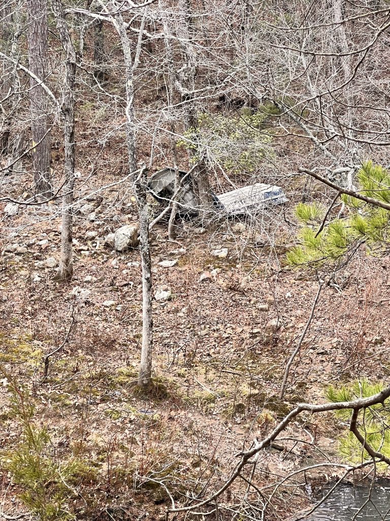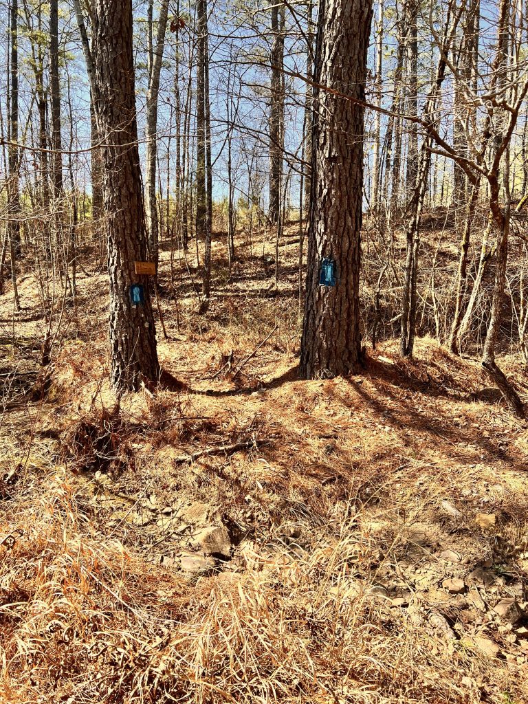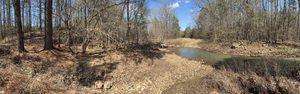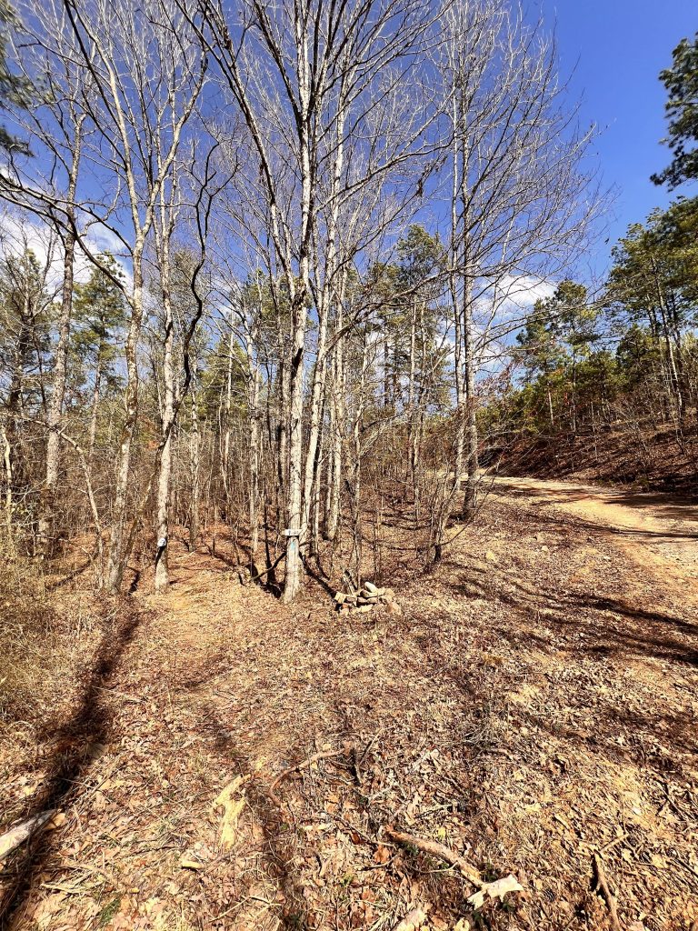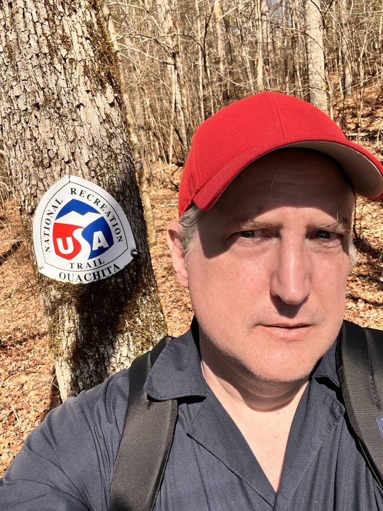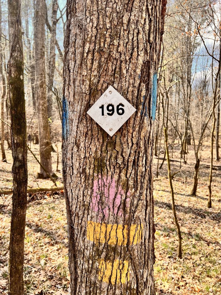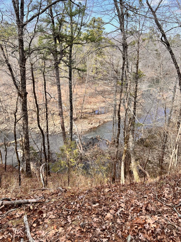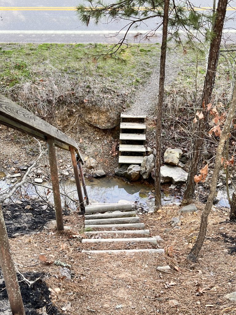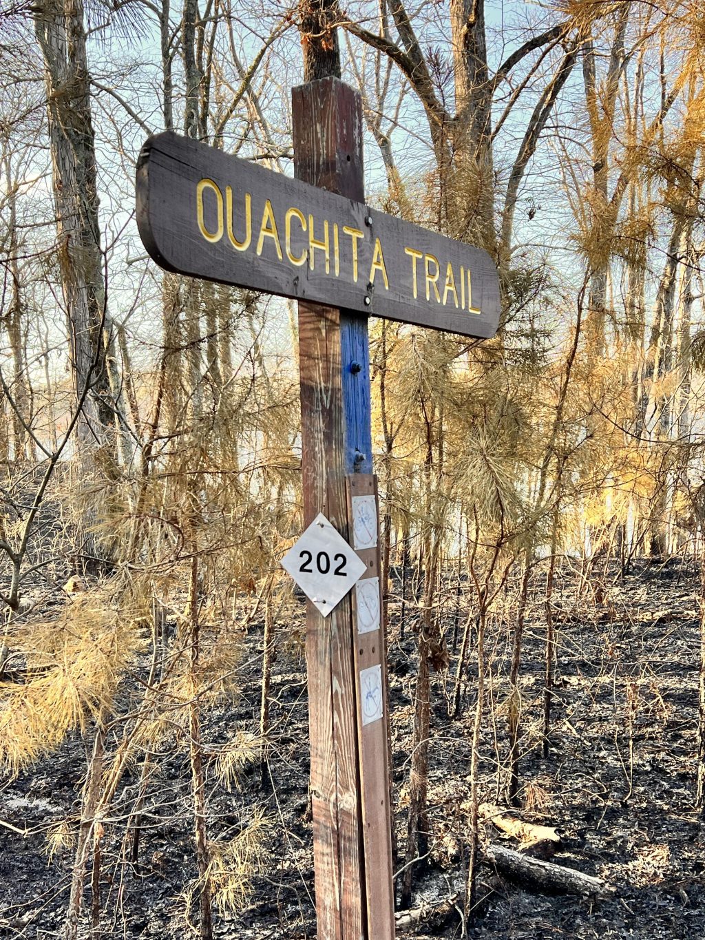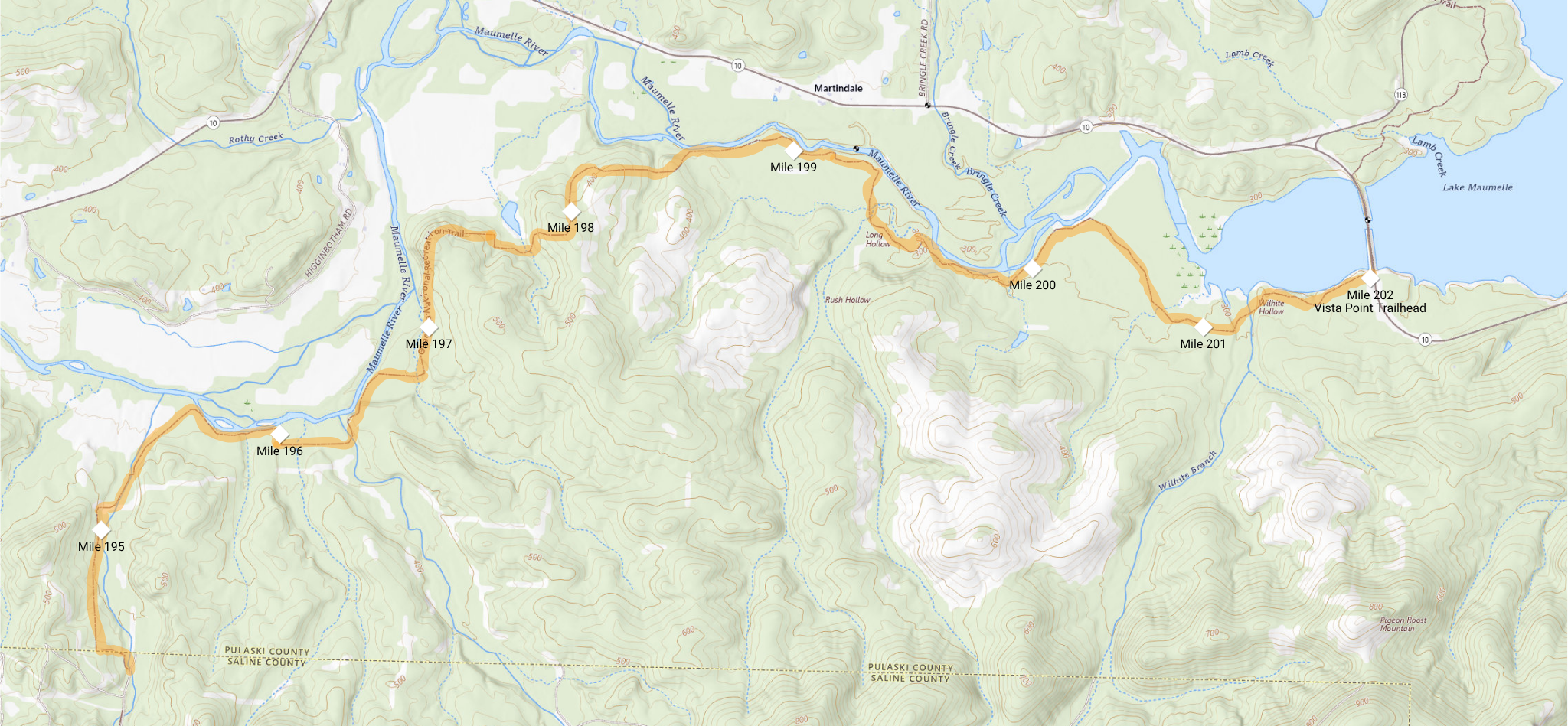
On March 3, 2024, I made a day-hike from Vista Point on Highway 10 to Patterson Creek near the county line between Pulaski and Saline Counties. The 14-mile hike took seven hours — very good time for me.
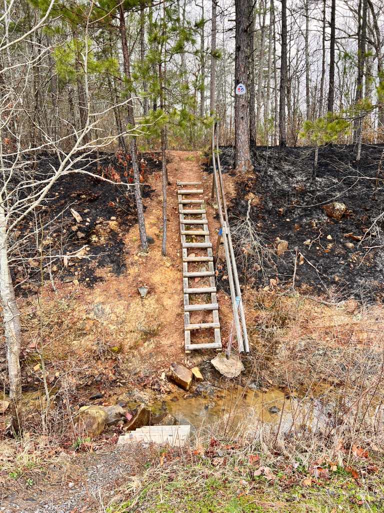
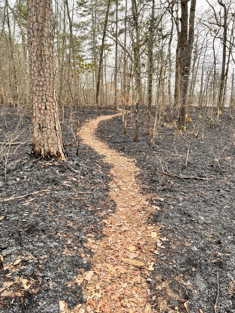
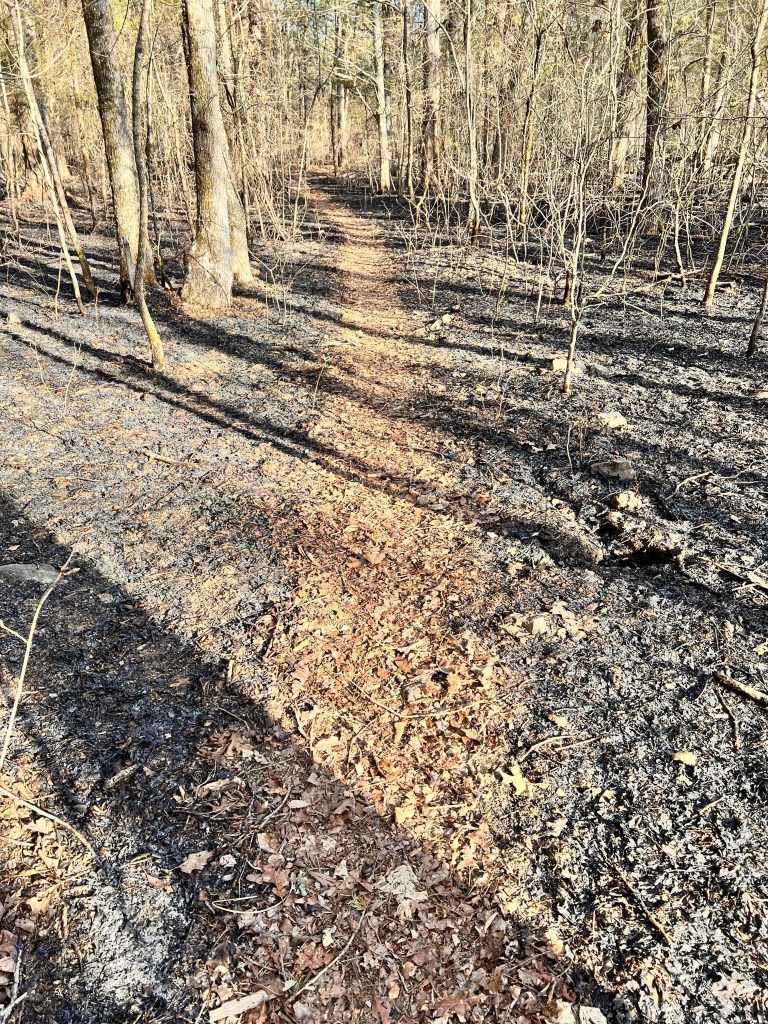
I experienced my first walk through a controlled burn for the first few miles. It was also my first hike of more than 10 miles on the Ouachita National Recreation Trail in which I stayed on the trail the entire time, not taking any backroad shortcuts to get back to the car.
Technically, it was winter, but the weather was wonderful, topping out at 73º.